Services
Remote sensing & GIS for decision-ready maps—city to global.
-

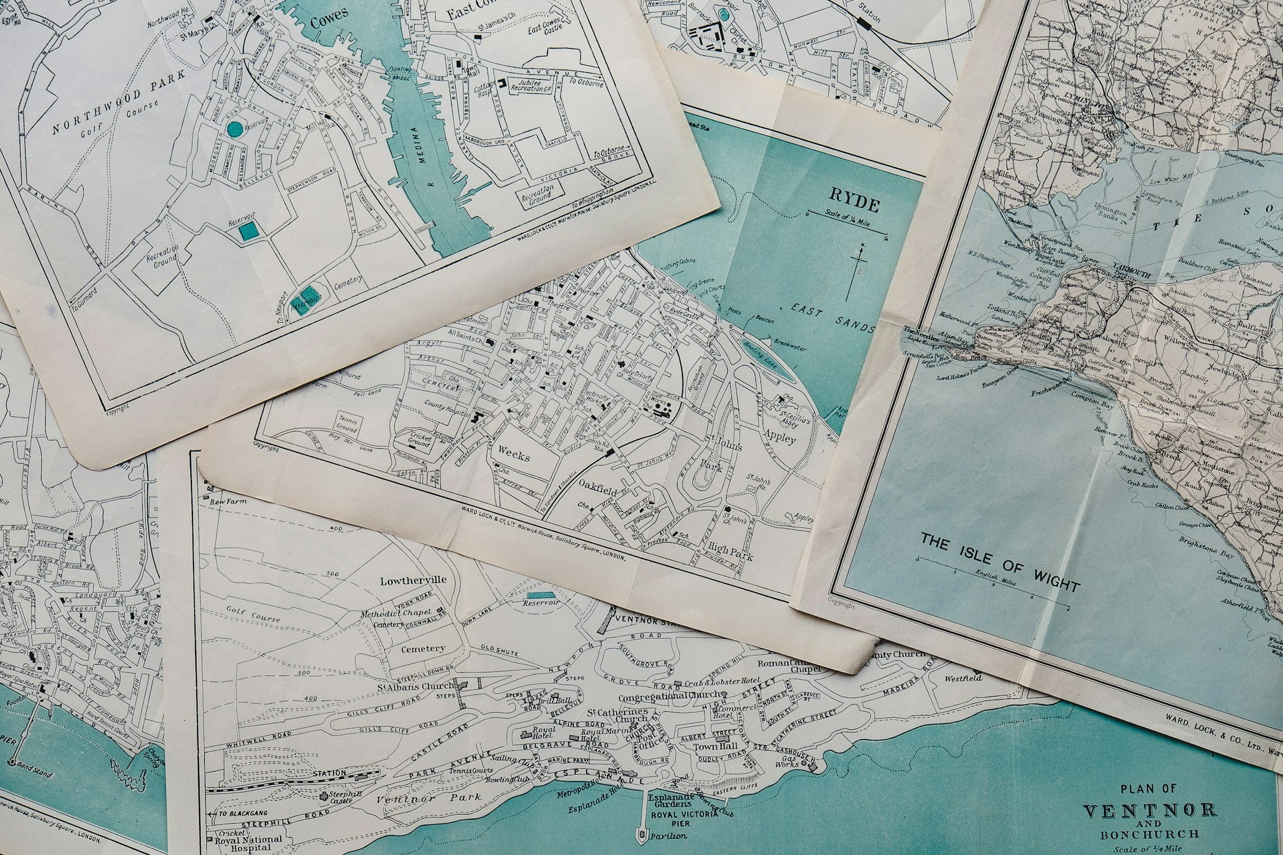
Mapping & Visualization
Clear, publication-quality maps and stakeholder-friendly web views.
Includes: cartography, figure panels for reports/papers, ArcGIS Online web maps/dashboards.
Use cases: council packets, public engagement sites, peer-review graphics.
Typical outputs: print-ready map series, dashboard/web map, style files & export assets. -

Data Engineering & Reproducible Pipelines
Make your spatial analyses repeatable, documented, and easy to hand off.
Includes: data cleaning/QA, scalable GEE scripts, ArcPy/Python tooling, versioned deliverables, readme docs.
Use cases: annual re-runs, multi-city rollouts, internal replication.
Typical outputs: repo or notebook set, parameterized scripts, sample data, runbook. -

Remote Sensing & Time-Series Analytics
Turn satellite archives into defensible trends and classifications.
Includes: Landsat (1985–present), Sentinel-2, NAIP, NLCD/LCMS; NDVI, LST, drought/water balance; change detection & accuracy assessment.
Use cases: long-run greenness/heat trends, vegetative cooling diagnostics, invasive species mapping, urbanization monitoring.
Typical outputs: maps + brief, GeoTIFF/GeoPackage, optional web map, GEE/Python/ArcGIS notebooks.

Market & Site Selection (Trade Area Analytics)
Turn “where should we open next?” into a defensible, map-driven decision. I combine demographics, mobility, and competitive context to identify, score, and rank locations with clear trade-area logic and documented methods.
Includes: drive-time/walk-time isochrones; demographic & income profiles (ACS); daytime population & employment; consumer spend proxies; competitor/POI mapping; gravity/Huff models; cannibalization checks; multi-criteria suitability scoring; scenario testing (A/B sites, different formats); zoning/parcel filters (where available); option to integrate mobile foot-traffic data and lease lists.
Use cases: new store/clinic rollout; relocation studies; franchise territory validation; service-area planning for delivery or in-home services; lender/investor due diligence; ad geotargeting & catchment definition.
Typical outputs: ranked candidate list with scores; one-page scorecards for top sites; annotated map series (rings/isochrones, competition, white-space); interactive web map/dashboard; methods brief with assumptions & data sources; reproducible scripts/notebooks for reruns.
Options: quarterly refresh for new markets; custom “next-site” tool tailored to your brand criteria; executive slide deck for board or landlord packages.

Custom Urban Remote Sensing (On-Request)
Bring me your question; I’ll design the analysis. From heat vulnerability to tree-canopy gaps, roof solar suitability, flood exposure, or before/after change mapping, I build targeted, defensible studies that turn pixels into decisions for cities, utilities, NGOs, and consultancies.
Includes: problem scoping; data audit & sourcing (Landsat, Sentinel-2, NAIP, VIIRS night lights, NLCD/LCMS, building footprints/OSM, parcel/census layers; optional Planet/Maxar if provided); preprocessing (cloud masking, BRDF/topo correction, co-registration); spectral indices (NDVI, NDWI, NDBI, LST), object/segmentation or supervised classification; accuracy assessment; uncertainty notes; cartographic and stakeholder-ready outputs.
Use cases: urban heat island & cooling strategy; canopy & impervious inventories; growth/land-use change; post-disaster damage & debris footprints; vacant-lot/blight screening; flood/ponding susceptibility; transportation corridor monitoring; roof/parking solar potential; park access & greenness equity.
Typical outputs: GeoTIFF/COG rasters; GeoPackage feature layers; interactive web map/dashboard; citywide and neighborhood scorecards; methods brief with data lineage & reproducible notebook (GEE/Python/QGIS) for reruns.
Options: multi-temporal trend analysis (1980s–present); mobile foot-traffic overlay; parcel joins for permitting/outreach lists; quarterly refresh; graphics pack for reports & council presentations.
Kickoff: You share AOI, timeframe, decisions you need to support, and preferred deliverable format; I return a fixed-scope proposal with timeline and fee.